
 Yahoo Lifestyle
 Weather warning as thunderstorms to follow ‘hottest day of the year’ this weekend
Thunderstorms and heavy rain are set to hit large swathes of the UK on Sunday, just one day after Saturday could become the hottest day of the year so far.
Saturday is predicted to see temperatures rise as high as 26C in parts of southeast England, including around London.
However the hot weather could be short-lived as a yellow weather warning for thunderstorms is set to come into place on Sunday.
Impacting large swathes of Wales and western England from north to south, the warning will come into place from midday on Sunday and remain until 10pm.

The warning comes with a possibility of flooding, travel delays and power cuts.
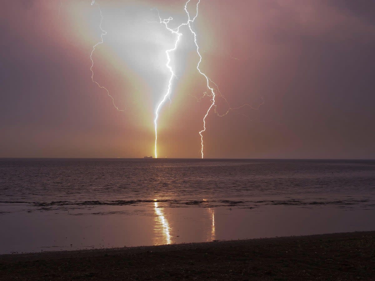
“Heavy showers and thunderstorms are likely to break out in the south of this area late Sunday morning and early Sunday afternoon, moving steadily north whilst growing into larger areas of rain before clearing the area,” the Met Office said.
“Some intense downpours are possible in a few places, giving up to 30mm in less than an hour and perhaps 40-50mm over two to three hours leading to surface water flooding. Hail, frequent lightning strikes and strong wind gusts will be additional localised hazards.”
The turbulent weather may come as a surprise for many people who are currently enjoying this week’s sunshine.
People across the nation from London to Manchester have been seen enjoying the warm weather by relaxing in green spaces while it lasts.

Temperatures have been consistently above 20C this week, with 25C in the south on Thursday and temperatures peaking at 26C on Saturday.
However, the Met Office cautioned that with warm weather comes an increase in UV levels, which are set to reach “moderate to high across the UK” in the coming days, particularly in the south.
The poor conditions are set to return to a more “unsettled pattern” next week.
From Sunday, thunderstorms are likely and the rain is forecast to return. It is still due to be quite warm – around 20C – but this then lowers throughout the week.
By Thursday next week, the temperature is expected to have dropped to 17C.
“Rain and showers will start to move in from the west, due to a developing low from the Atlantic,” the Met Office added.
Deputy chief meteorologist Tony Wisson said: “Many places will start fine and warm on Sunday, though it is likely to become cloudier from the west or southwest during the day. This will be accompanied by scattered showers, which could be heavy with thunder.
“On Monday we’re likely to see more widespread and longer-lived spells of rain, some of which will be heavy and thundery. This will also lead to a much cooler feel to the day.”
Here is the UK’s five-day forecast in full:
Today:
Morning mist and fog patches will soon clear to leave a fine warm day, with plenty of sunshine across the country. Perhaps cloudier at times across the far northeast of Scotland, with any early rain quickly clearing from here.
Tonight:
Plenty of evening sunshine, then dry overnight with prolonged clear spells. With light winds, there will be some mist and fog patches forming in places.
Saturday:
A warm sunny day for many, though some patchy coastal mist is possible in places. A few heavy afternoon showers or thunderstorms developing across northern England and southern Scotland.
Outlook for Sunday to Tuesday:
A warm and humid day on Sunday, with an increasing risk of thunderstorms. Turning cooler through Monday and Tuesday, with showers and longer spells of rain. Winds increasing too.

