
 Yahoo Lifestyle
 MIT's new GPS system uses satellite images to put you in the right lane
No more last-minute merging.
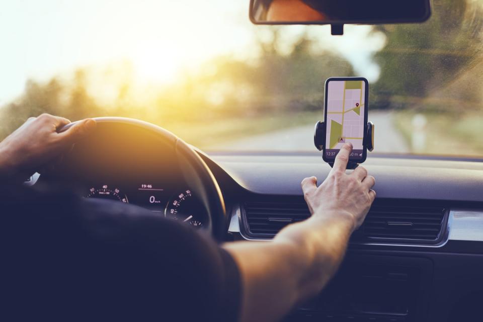

If you've ever used GPS navigation while driving in an unfamiliar place, chances are you've had more than one incident with last minute merging -- likely because the GPS hasn't picked up on the number of lanes on the road, or where they lead to. But this particular annoyance's days could be numbered, thanks to research from MIT.
Typically, GPS maps are created by big companies such as Google, which sends camera-strapped vehicles around a neighborhood to capture details on an area's roads. And that's worked pretty well so far, but it's not without its limitations. For a start, it's an expensive process, and keeping these maps up to date is time-consuming. Secondly, because of the costs involved, some parts of the world are being ignored; GPS data is basic at best, or simply non-existent.
One solution to these challenges is to unleash machine-learning models onto satellite images to automatically tag road features. This is cheaper, these images are updated regularly, and a bird's eye view of a road will give a whole bunch of more useful information about lane control. The problem is, satellite images of roads are often obscured by things such as trees and buildings, making things harder for the machine-learning component. But this is where MIT comes in.
Working with Qatar Computing Research Institute (QCRI), the facility has designed a system that uses a combination of neural network architectures to automatically predict the types of roads and number of lanes behind obstructions. In tests, the system -- called RoadTagger -- counted lane numbers with 77 percent accuracy, and could infer road types (residential or highway, for example) with 93 percent accuracy.
QCRI was particularly invested in this research because of the challenges Qatar is facing ahead of the 2022 FIFA World Cup. According to the paper's co-author Sam Madden, Qatar is not a priority for companies building digital maps, and yet it's constantly building new roads and improving old ones ahead of next year's soccer event. "While visiting Qatar, we've had experiences where our Uber driver can't figure out how to get where he's going, because the map is so off," Madden said. "If navigation apps don't have the right information, for things such as lane merging, this could be frustrating or worse."
The researchers plan to develop RoadTagger to predict other features, too, such as parking spots and bike lanes, and hope that one day it can be used to help humans quickly validate continuous modifications to roads. Sort of like a Waze for infrastructure. "Our goal is to automate the process of generating high-quality digital maps, so they can be available in any country," said Madden, meaning that panicked last-minute lane merges could soon be a thing of the past.
